 WaiMAP
Land, Property & Development Potential
Assess a parcel or an area in minutes: terrain, slope, access and environmental constraints, what is around it, what can be built and how a reference district would fit.
For: Land and property developers, investors and funds, planners, valuers
What you give WaiMAP
- A parcel, an area or up to four candidate points
- Your zoning inputs (coverage, floor-area ratio, setbacks) or targets (residents, keys)
- Optional: a reference district to copy
What it does
Automatic
- Terrain, slope, flood and natural-hazard screening; Site Check atlas values
- Constraints with buffers and the gross → developable waterfall
- Masterplan from targets: land budget, blocks, GFA, utilities, indicative cost and phasing
- Side-by-side comparison of sites
Manual input
- Enter the zoning rules that apply (WaiMAP does not read official zoning plans)
- Edit the layout scenario or the copied district before it is applied
What you get
- Site intelligence and parcel reports
- Masterplan dossier with coordinate Excel
- Site comparison
- Project Brain report
Planned
- Official cadastre and zoning data per country
- Market prices and sales potential
Demonstration project
Demonstration project (generated with WaiMAP engines)
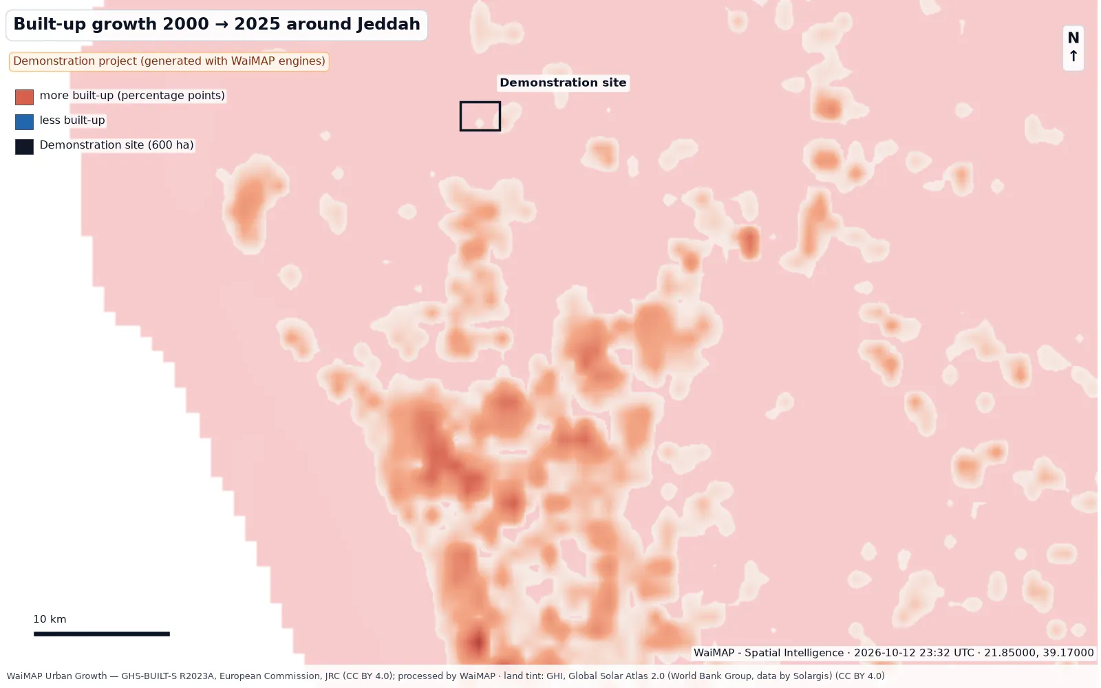
Red Sea coastal development – Jeddah area (demonstration)
A 600 ha mixed-use district scenario on the Red Sea coastal plain: land budget, utilities, indicative cost, solar resource and rooftop PV, flood exposure, urban growth and access — screened with the WaiMAP engines.
Video
 Video coming soon
Videos are published after review. Video centre
Who it is for
- Land and property developers
- Investors and fund managers
- Municipal and regional planners
- Valuers, brokers and advisers
Key output: Buildable area, constraints, surroundings, development scenarios and screening-level investment figures.
Use cases
Parcel assessment
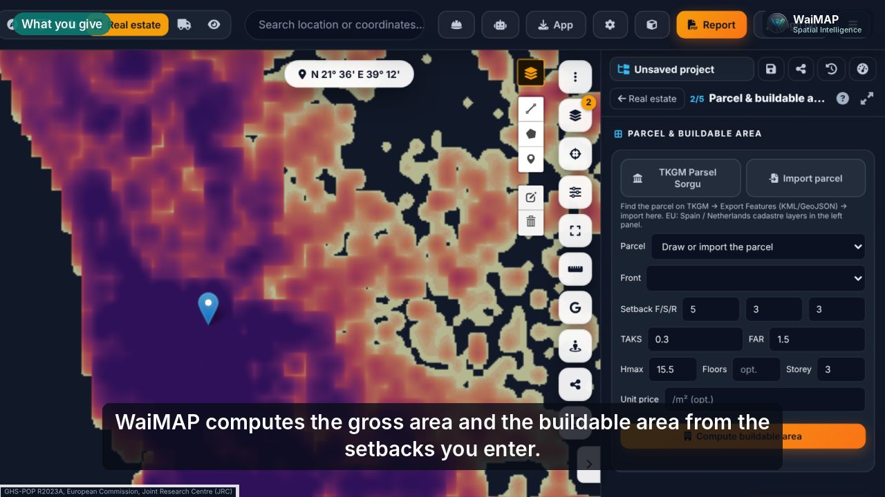
Buildable area from your zoning inputs, setbacks, slope classes, access and constraints with buffers.
Residential and commercial
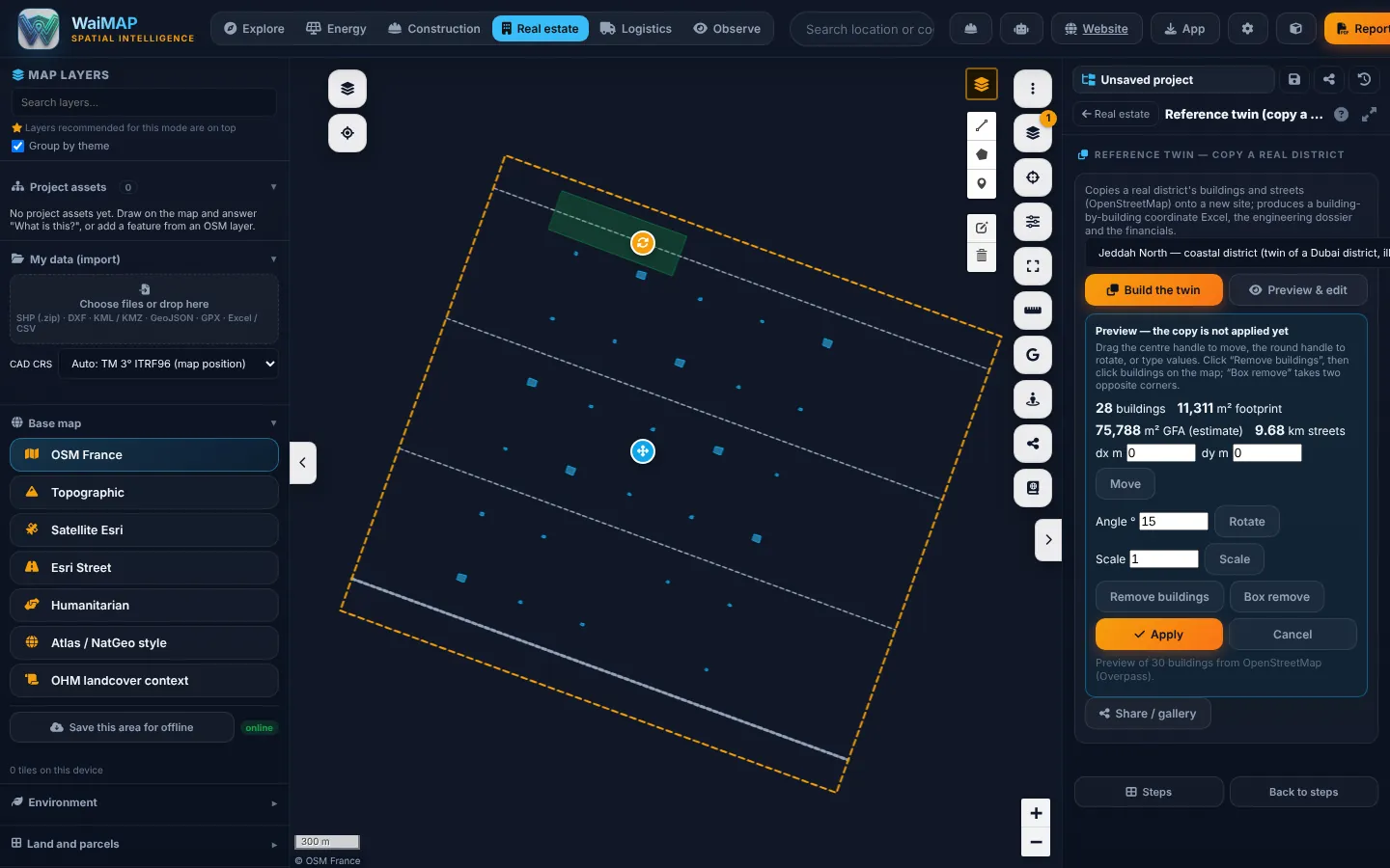
Masterplans from targets with a land budget; copy a real district onto a new site and edit it before it is applied.
Agricultural and rural land
Terrain, soil, climate, water and protected areas around the parcel; land → capacity for solar or wind.
Terrain, slope, access and environmental constraints
Slope and aspect, flood and natural hazards, protected areas, wetlands and forests on the map.
Nearby infrastructure and land use
Roads, power lines and substations, schools, hospitals and services around the site from OpenStreetMap.
Development scenarios and investment screening
Building schedules, GFA, residents and jobs, coordinate Excel and a financial appendix per scenario.
Workflow
- Mark the parcel or area
- Read terrain, constraints and surroundings
- Set zoning inputs or targets
- Build or copy a development scenario
- Compare sites and scenarios
- Issue the dossier
Key deliverables
Report and tool names as they appear in WaiMAP.
Capabilities
Checked against the code: what you can use today, what is being rolled out, and what is planned.
Available now
- Site intelligence: area, slope, aspect, constraints with buffers
- Parcel and buildable area from zoning inputs
- Masterplan engine and dossier (planning standards, typical values)
- Reference twin: copy a real district onto a new site
- Reference twin preview & edit — move, rotate, scale, remove buildings, live metrics (Pro and above)
- Site comparison of up to 4 points
- Natural-hazard and flood screening
- Land → capacity for solar and wind
Planned
- Official cadastre and zoning data per country
- Market prices and valuation data
Reports from this solution follow the WaiMAP report structure (executive summary, location, maps and layers, data sources and observation dates, results, constraints and changes, quantities and assumptions, findings and limitations, appendices) at screening, feasibility-grade or bankability-readiness level. Module details: capability matrix · validation report · Bankability & Data Trust.
Other industry solutions
Energy Intelligence
Solar, wind, storage, hydropower and the grid — from site screening to construction and operation.
Construction Intelligence
Terrain, earthworks, linear infrastructure, facilities and progress — planned versus actual.
Logistics Intelligence
HGV routes, vehicle limits, abnormal loads and project cargo to energy and construction sites.
Observations & Monitoring
Observe → Compare → Interpret → Alert & Report, for sites, assets and their surroundings.