 WaiMAP
Route Planning, Fleet Operations & Transport Constraints
Plan truck and abnormal-load routes with vehicle dimensions, weights and the restrictions mapped along the way, check trip conditions and take the route into the project.
For: Transport and project-cargo planners, EPC logistics teams, fleet operators
What you give WaiMAP
- Start, stops and destination
- Vehicle dimensions, weights, axle load and hazmat class
- Departure time
What it does
Automatic
- Truck routes with the vehicle limits and up to two alternatives (routing service)
- Mapped height / width / weight restrictions, tunnels and bridges within 30 m of the route
- Abnormal-load check: curve radii and grades
- Trip conditions with hourly weather; reach areas
Manual input
- Choose the vehicle profile and the stops
- Verify permits, bridge limits and live restrictions with the road authority
What you get
- Route report (print / PDF) and route intelligence PDF
- GPX, KML, GeoJSON, GeoPackage and CSV exports
- The access route as a line asset in the project
Planned
- Transport cost per route (fuel, driver, tolls)
- Stop-order optimisation
- Live traffic, fleet tracking and telematics
Demonstration project
Demonstration project (generated with WaiMAP engines)
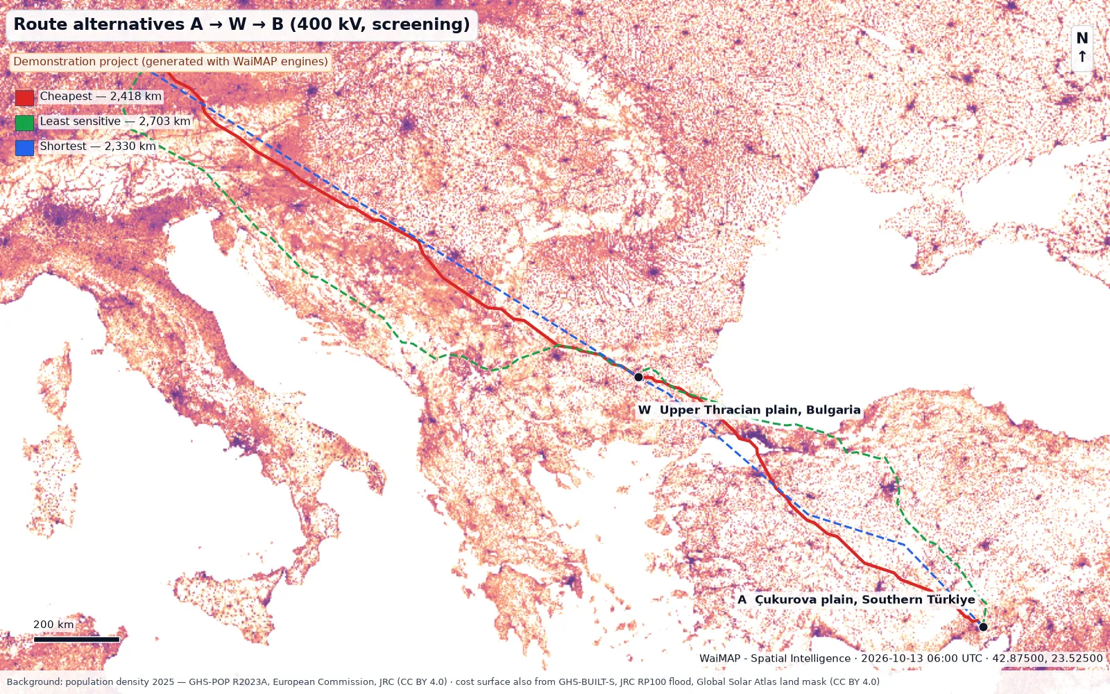
Whitewell NPP – Bulgaria – Germany transmission corridor (demonstration)
A 400 kV corridor of about 2,418 km screened with the WaiMAP line engines: three route alternatives on an open-data cost surface, three representative 10 km sections with spotting, sag-tension, quantities, optimum spotting and checks.
Video
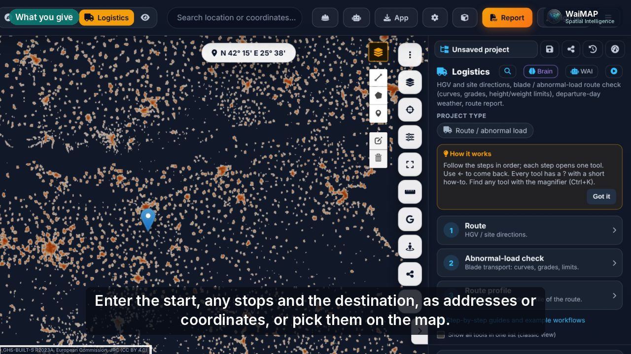 Video coming soon
Videos are published after review. Video centre
Who it is for
- Transport and logistics companies
- Project cargo and heavy-lift planners
- EPC logistics teams
- Fleet operators
Key output: Routes with distances and times, restrictions along the way, abnormal-load checks and trip conditions.
Use cases
HGV / TIR routing
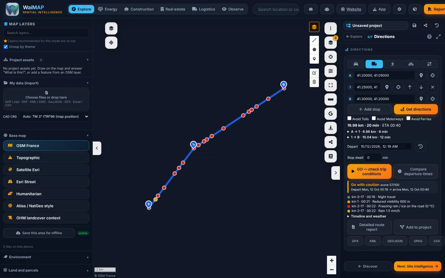
Truck routes with height, width, length, weight, axle load and hazmat parameters; up to 10 stops; avoid tolls, motorways or ferries.
Vehicle dimensions, weight and load restrictions
Saved vehicle profiles; mapped maxheight, maxwidth, maxweight, tunnels and bridges within 30 m of the route.
Oversized and special loads
Abnormal-load check: curve radii from the route geometry, grades from the DEM, presets for blades, tower sections, nacelles and transformers.
Distance and journey planning
Distance, time and arrival per leg, departure-time comparison and trip conditions with hourly weather.
Project cargo for energy and construction sites
Access routes into the project as line assets; reach areas (isochrones) from a site or a port.
Fleet and transport monitoring
Planned: live fleet positions and telematics are not part of WaiMAP today.
Workflow
- Set start, stops and destination
- Choose the vehicle and its dimensions
- Route and read restrictions on the way
- Check abnormal-load geometry and trip conditions
- Export GPX / KML / CSV or add to the project
Key deliverables
Report and tool names as they appear in WaiMAP.
Capabilities
Checked against the code: what you can use today, what is being rolled out, and what is planned.
Available now
- Truck routing with vehicle dimensions and weights (Valhalla)
- Saved vehicle profiles
- Abnormal-load route check (curve radii, grades, mapped restrictions)
- Trip conditions with hourly weather and departure comparison
- Reach areas (isochrones)
- Route exports and route into the project
Planned
- Live traffic
- Fleet tracking and telematics
Reports from this solution follow the WaiMAP report structure (executive summary, location, maps and layers, data sources and observation dates, results, constraints and changes, quantities and assumptions, findings and limitations, appendices) at screening, feasibility-grade or bankability-readiness level. Module details: capability matrix · validation report · Bankability & Data Trust.
Other industry solutions
Energy Intelligence
Solar, wind, storage, hydropower and the grid — from site screening to construction and operation.
Construction Intelligence
Terrain, earthworks, linear infrastructure, facilities and progress — planned versus actual.
Real Estate Intelligence
Parcels, constraints, infrastructure and development scenarios for land and property decisions.
Observations & Monitoring
Observe → Compare → Interpret → Alert & Report, for sites, assets and their surroundings.