Project demonstrations

Project demonstrations

Full stories produced by running the WaiMAP engines: the purpose, the data given to WaiMAP, what ran automatically and what was entered by hand, the calculation steps, maps, tables, warnings and a sample report you can download.

Demonstration project (generated with WaiMAP engines) Every story below is a demonstration generated with WaiMAP engines on open data. Place names show where the engines ran; no story describes a real project, and no client is involved.
Red Sea coastal development – Jeddah area (demonstration) — figure
Demonstration project (generated with WaiMAP engines)

Red Sea coastal development – Jeddah area (demonstration)

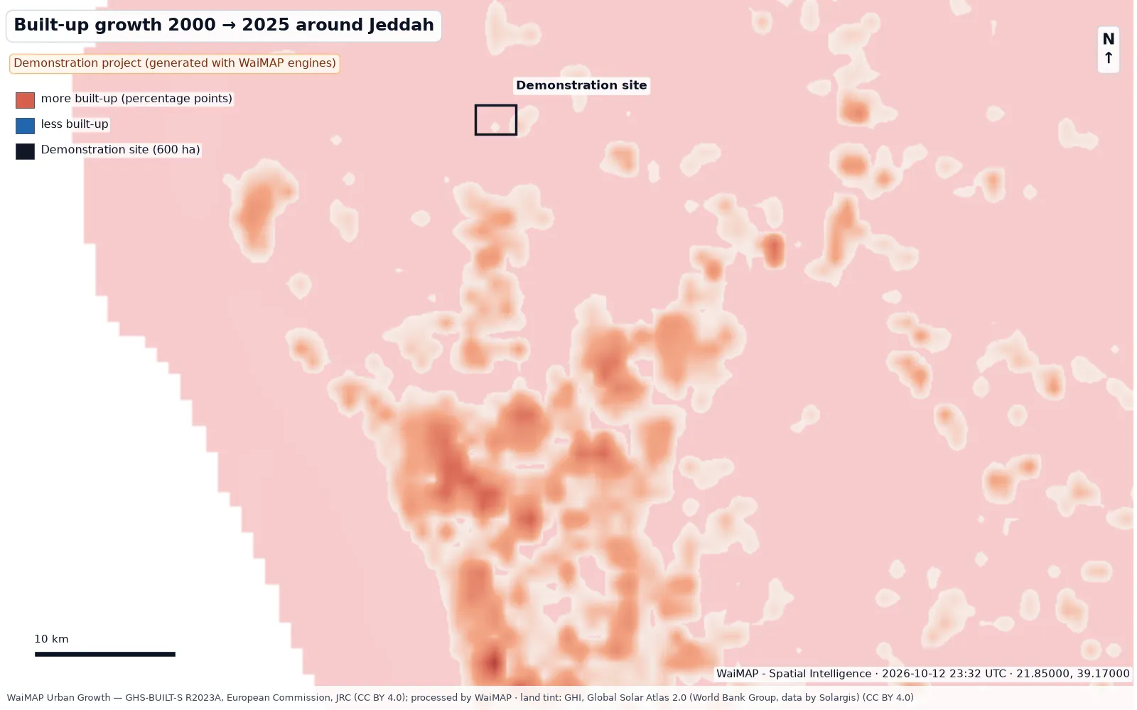
North of Jeddah, Saudi Arabia — A 600 ha mixed-use district scenario on the Red Sea coastal plain: land budget, utilities, indicative cost, solar resource and rooftop PV, flood exposure, urban growth and access — screened with the WaiMAP engines.

600 haSite area
45,000 Residents (scenario)
1.99 million m²Gross floor area
64.2 MWPeak power demand
Whitewell NPP – Bulgaria – Germany transmission corridor (demonstration) — figure
Demonstration project (generated with WaiMAP engines)

Whitewell NPP – Bulgaria – Germany transmission corridor (demonstration)

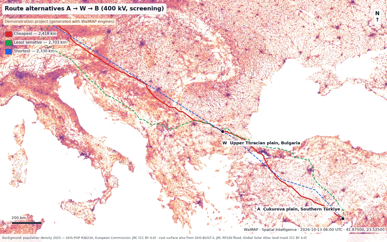
Whitewell NPP area → Bulgaria → Bavaria — A 400 kV corridor of about 2,418 km screened with the WaiMAP line engines: three route alternatives on an open-data cost surface, three representative 10 km sections with spotting, sag-tension, quantities, optimum spotting and checks.

2,418 kmRoute length (cheapest alternative)
2,312 kmStraight-line distance A → W → B
3 Route alternatives
3 × 10 kmRepresentative sections computed
Real project material — added after client approval

Reserved for approved real project material related to the three demonstrations. No real project material is published here yet; nothing on this page describes a real project.

Generated 2026-10-13 06:00 UTC by tools/demos/build_demos.py with the WaiMAP engines (atlas, pvlib, line mechanics, PV layout, BESS, masterplan) on open data. Steps that need elevation data, OpenStreetMap or a routing service are marked "runs in the app" in each story — no number was invented for them.